Katahdin
SummitMaine, United States
About Katahdin
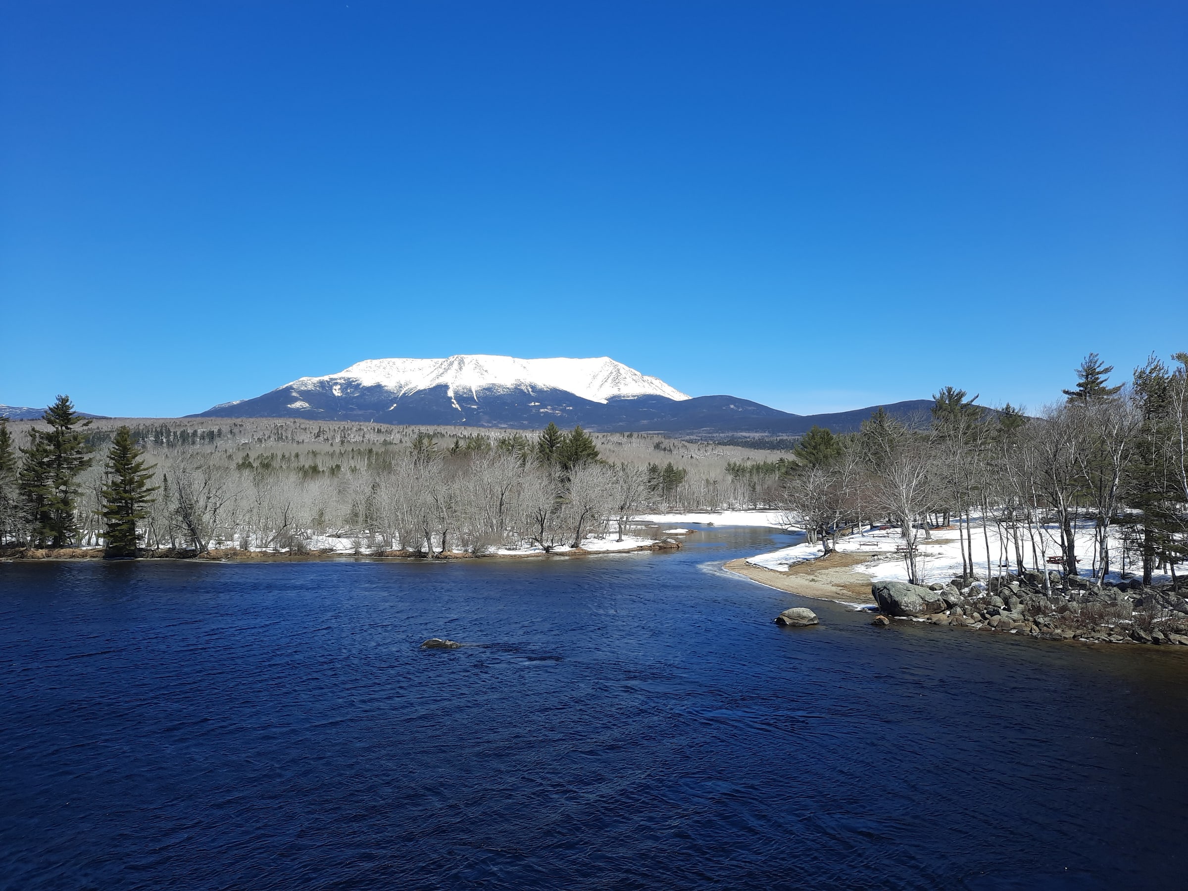
Mount Katahdin is the highest mountain in the U.S. state of Maine at 5,269 feet (1,606 m). Named Katahdin, which means 'Great Mountain', by the Penobscot Native Americans, it is within Northeast Piscataquis, Piscataquis County, and is the centerpiece of Baxter State Park. It is a steep, tall massif formed from a granite intrusion weathered to the surface.
Source: Wikipedia · CC BY-SA 4.0
Before you go
An approach route and its starting point are not available on this page.
Current access, permit, and seasonal-closure updates are not available here. Confirm those details with the land manager before your trip. Read Wikipedia
More about this place
Weather
Forecast near Katahdin · destination elevation 5,269 ft. Conditions can vary with elevation.
Full forecast → · Forecast by Open-Meteo
Seasonality
Map
Routes
No routes are linked to this destination yet.
Trip reports
No trip reports yet. Been here? Write the first one.