About Peaks
Peaks is a peak-bagging tracker and guidebook. The iOS app records GPS tracks, elevation, and photos as you climb. This site is the same catalog on the web — destinations, routes, protected areas, and curated lists, all browsable without an account.
The catalog draws on public sources, plus routes and corrections from people who climb them. You’ll find source credits on place and route pages.
Explore 83,449 places, 260 routes, and 31 peak lists.
A record of your time outside
Use Peaks to choose where to go and remember the places you’ve been. Your activity, photos, and plans belong together.
Explore the catalog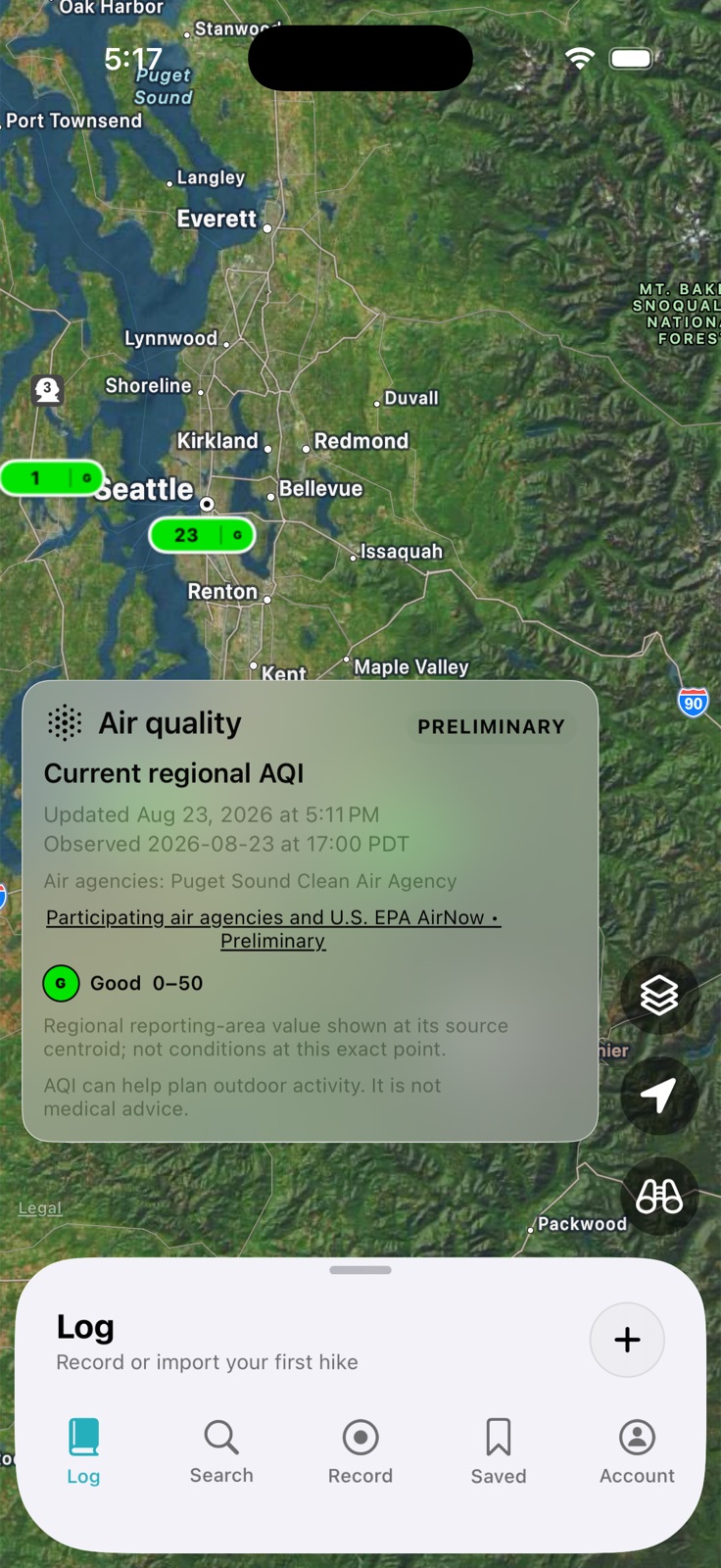
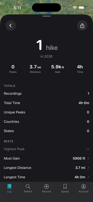
App previews. Map conditions shown are from August 2026.