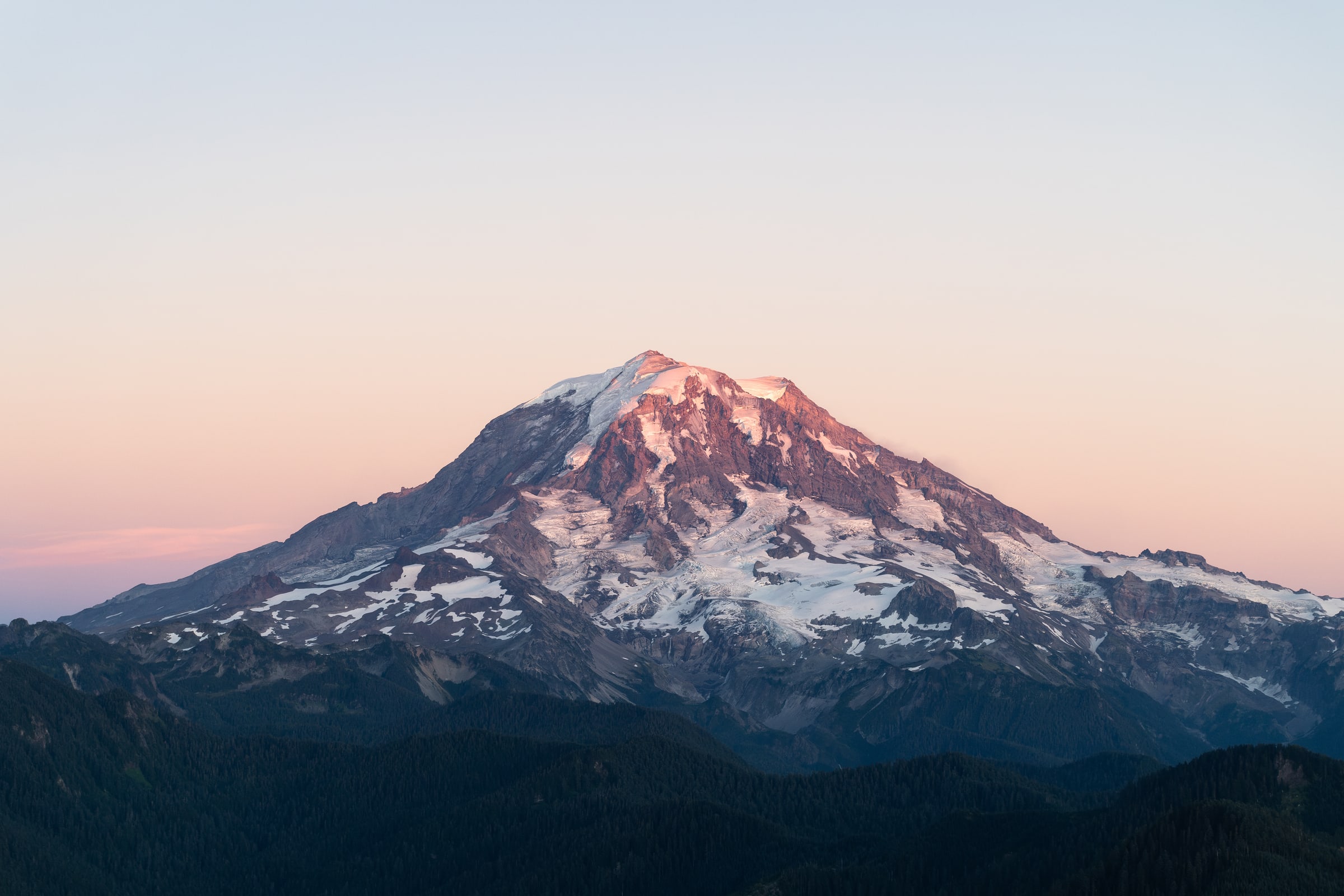
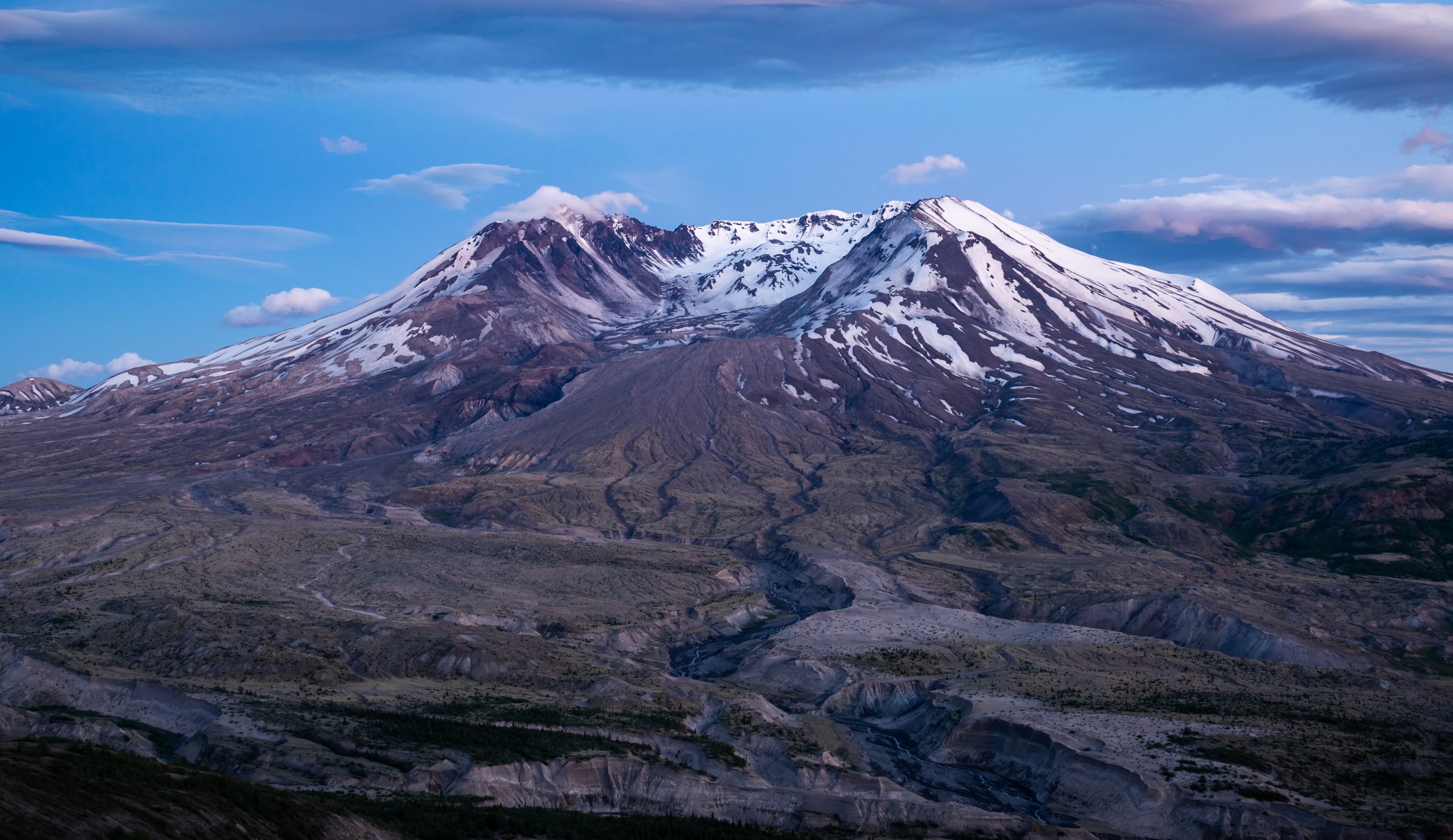
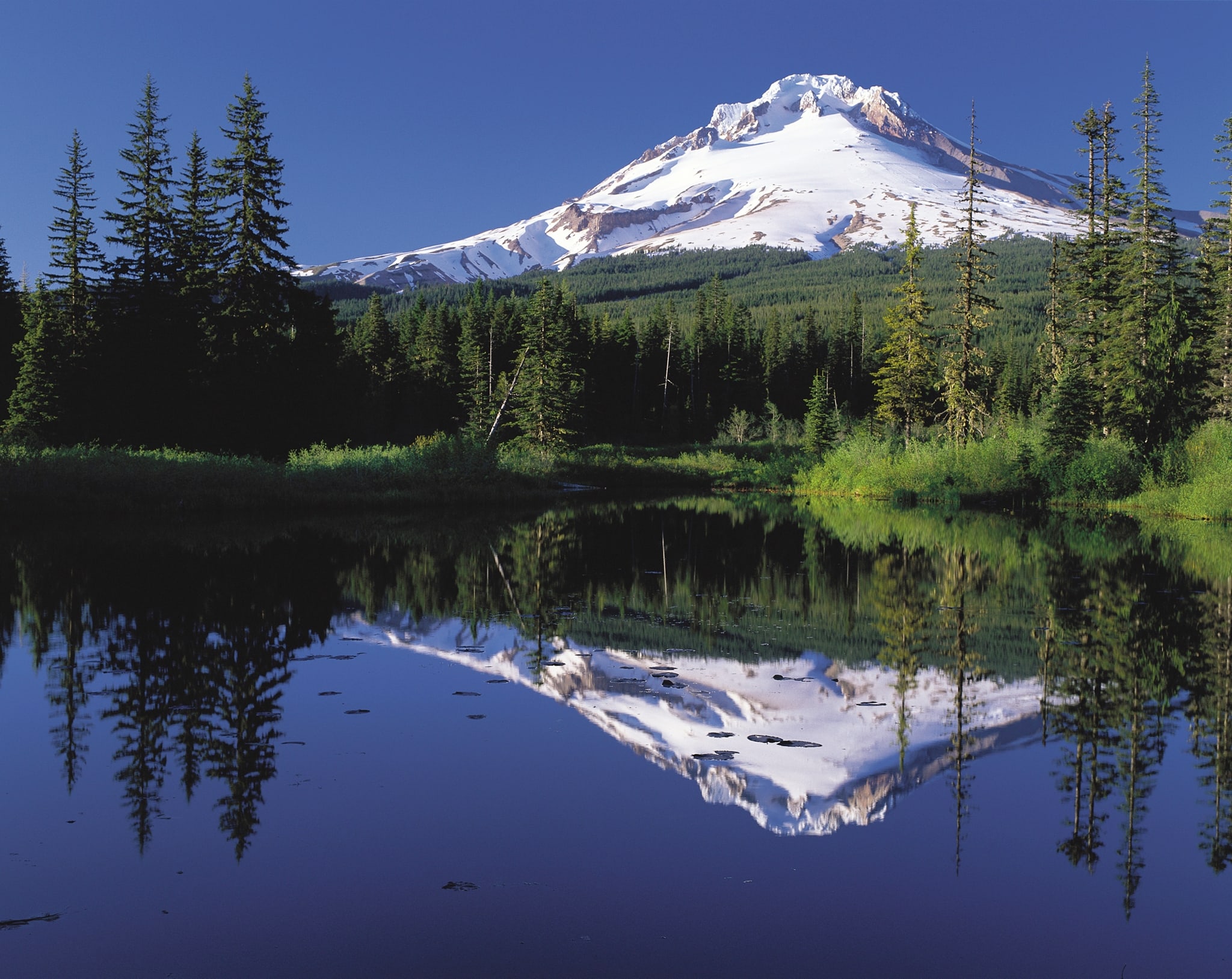
Mount Rainier
14,409 ft elevation
summit+1
Photo: Caleb Riston / CC0
Peaks on the web and iPhone
Find a place to climb, work out the route, and keep a record of the day. Browse and plan here, then record your activity with the iPhone app.
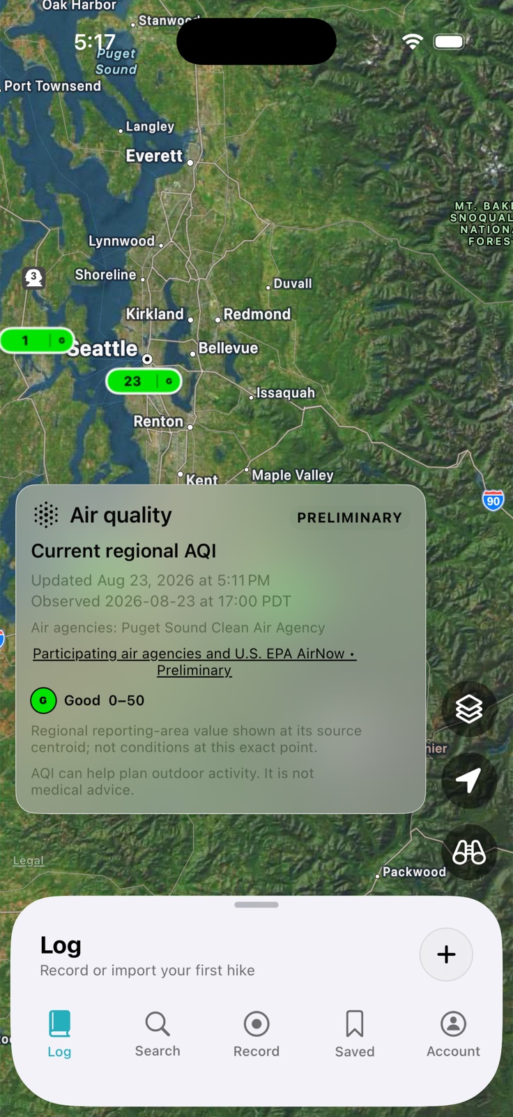
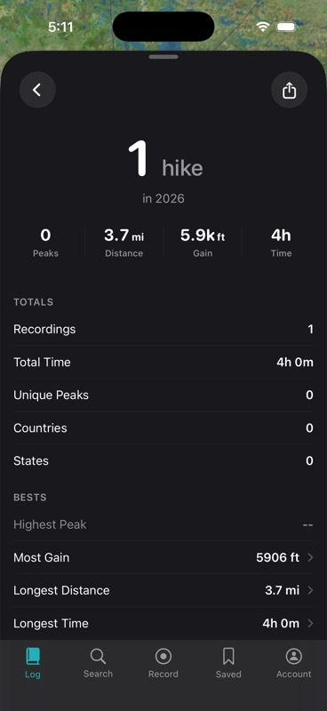
App previews. Map conditions shown are from August 2026.
Search peaks, routes, parks, and lists. Narrow your search by region and activity, check the map, and save places for later. You can browse without an account.
Check distance, elevation gain, and route shape, then add the route to a trip. Set a date, invite friends, and keep your stops and notes together.
Record a GPS track in the iPhone app, or import a GPX file on the web. Review your route, distance, elevation, and time in your activity log.
Open your log →See the places you’ve reached and your progress on peak lists. Use the remaining places to choose your next climb.
Explore lists →Add a trip report and photos to an activity. Let other climbers know about conditions and what helped your party.
Write a report →