Mount Hood
SummitOregon, United States
About Mount Hood
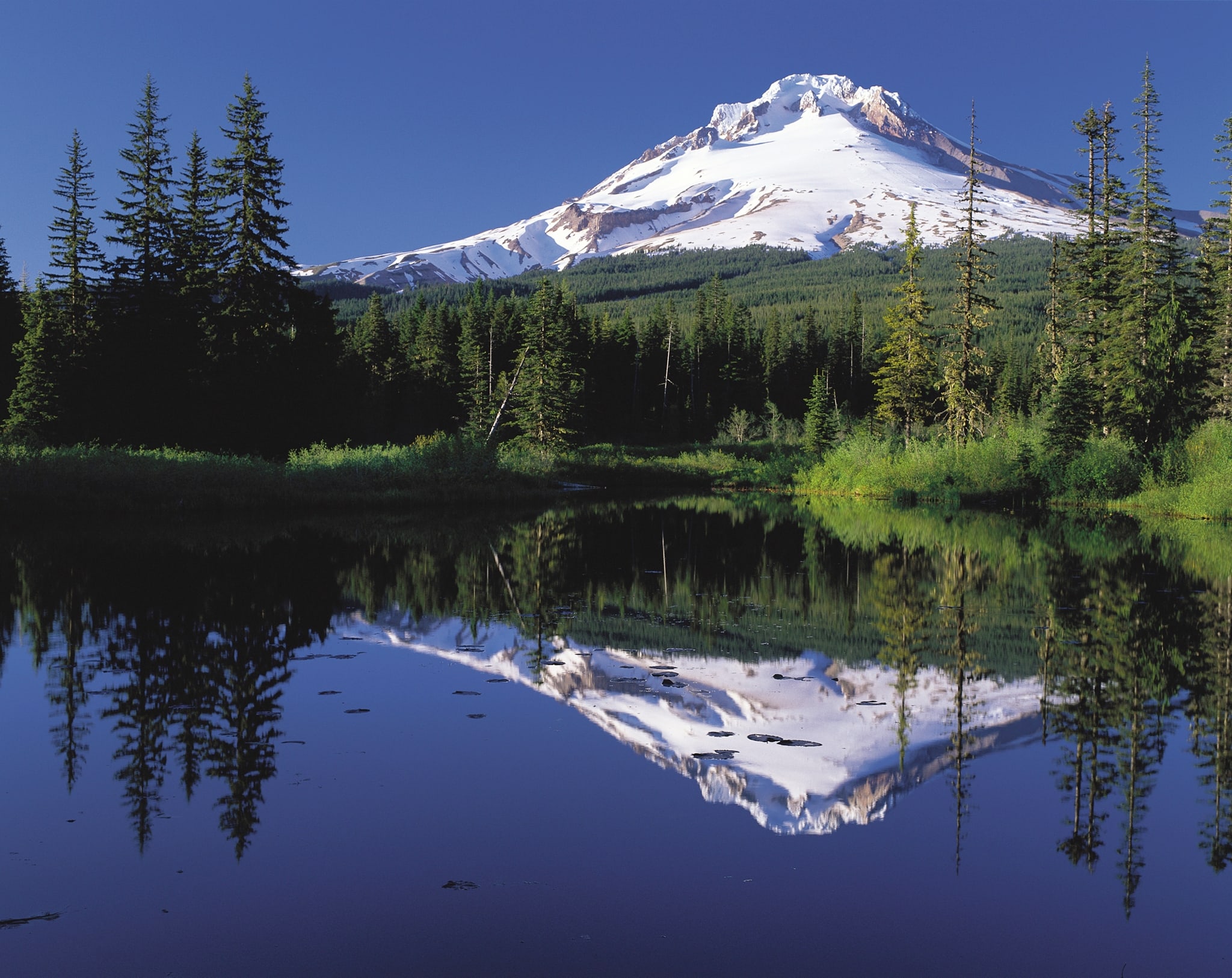
Mount Hood is an active stratovolcano in the Cascade Range and is a member of the Cascade Volcanic Arc. It was formed by a subduction zone on the Pacific Coast and rests in the Pacific Northwest region of the United States. It is located about 50 miles (80 km) east-east-southeast of Portland, on the border between Clackamas and Hood River counties, and forms part of the Mount Hood National Forest.
Source: Wikipedia · CC BY-SA 4.0
Before you go
Choose an approach from the linked routes, then check its distance, gain, and starting point. Compare routes
Current access, permit, and seasonal-closure updates are not available here. Confirm those details with the land manager before your trip. Read Wikipedia
More about this place
Weather
Forecast near Mount Hood · destination elevation 11,240 ft. Conditions can vary with elevation.
Full forecast → · Forecast by Open-Meteo
Seasonality
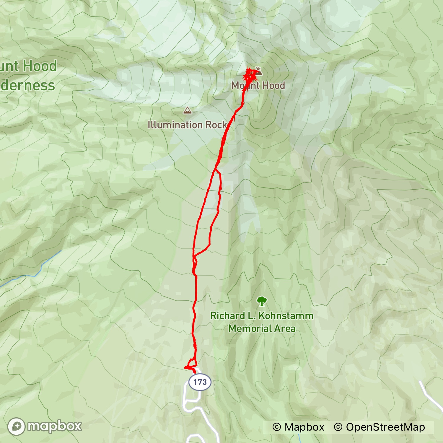
Map
Photos from recent activities
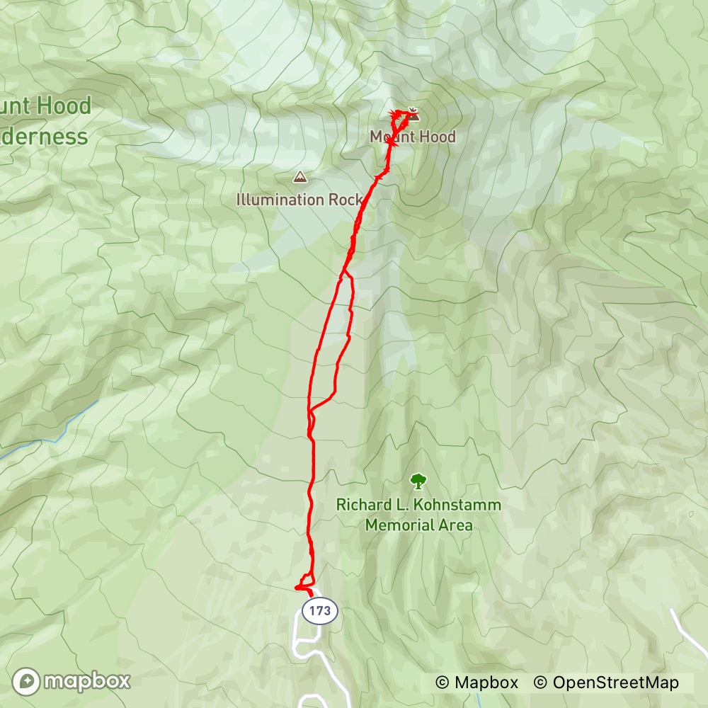
Mar 13, 2021 · Hike · Peaks member
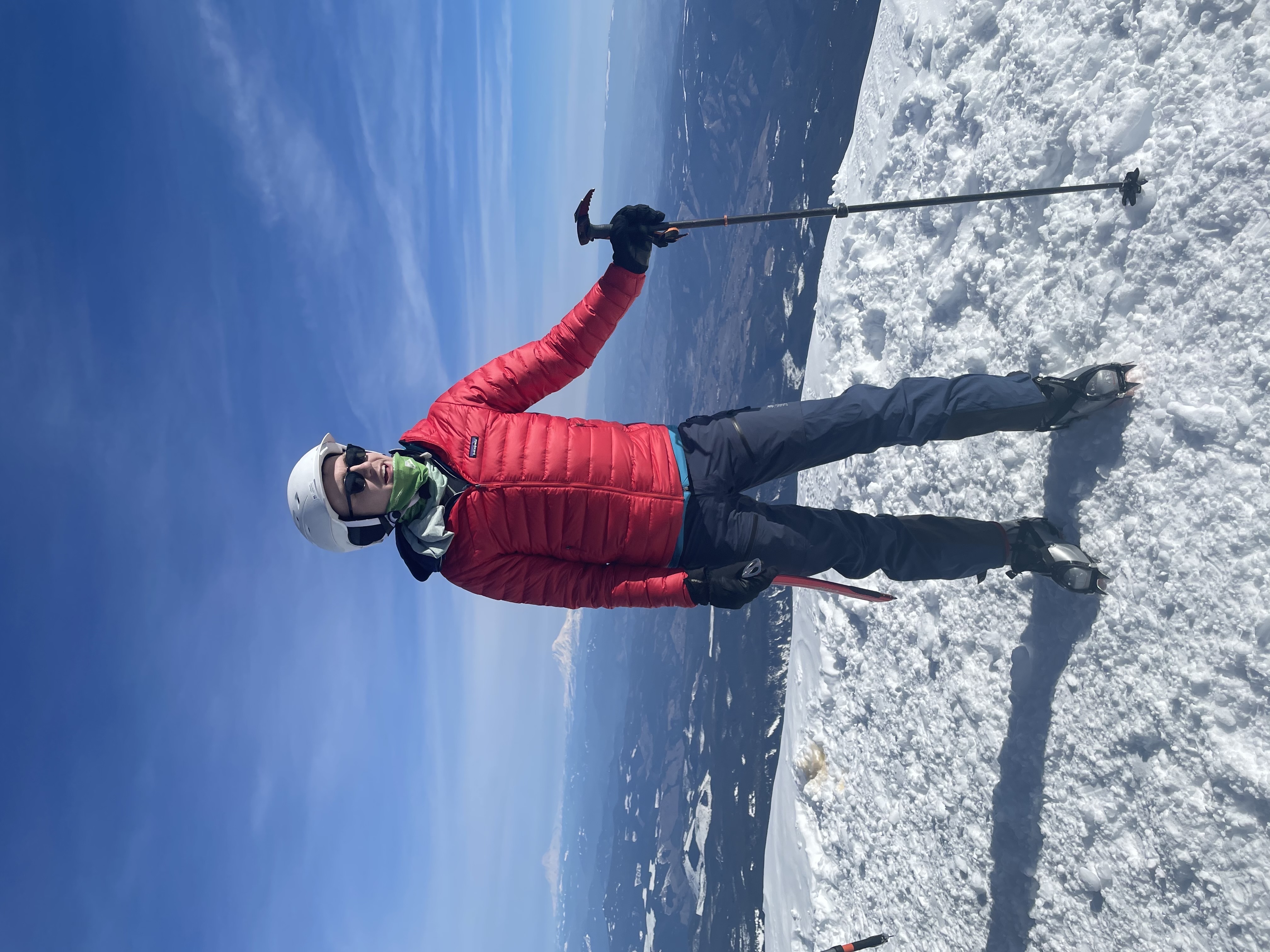
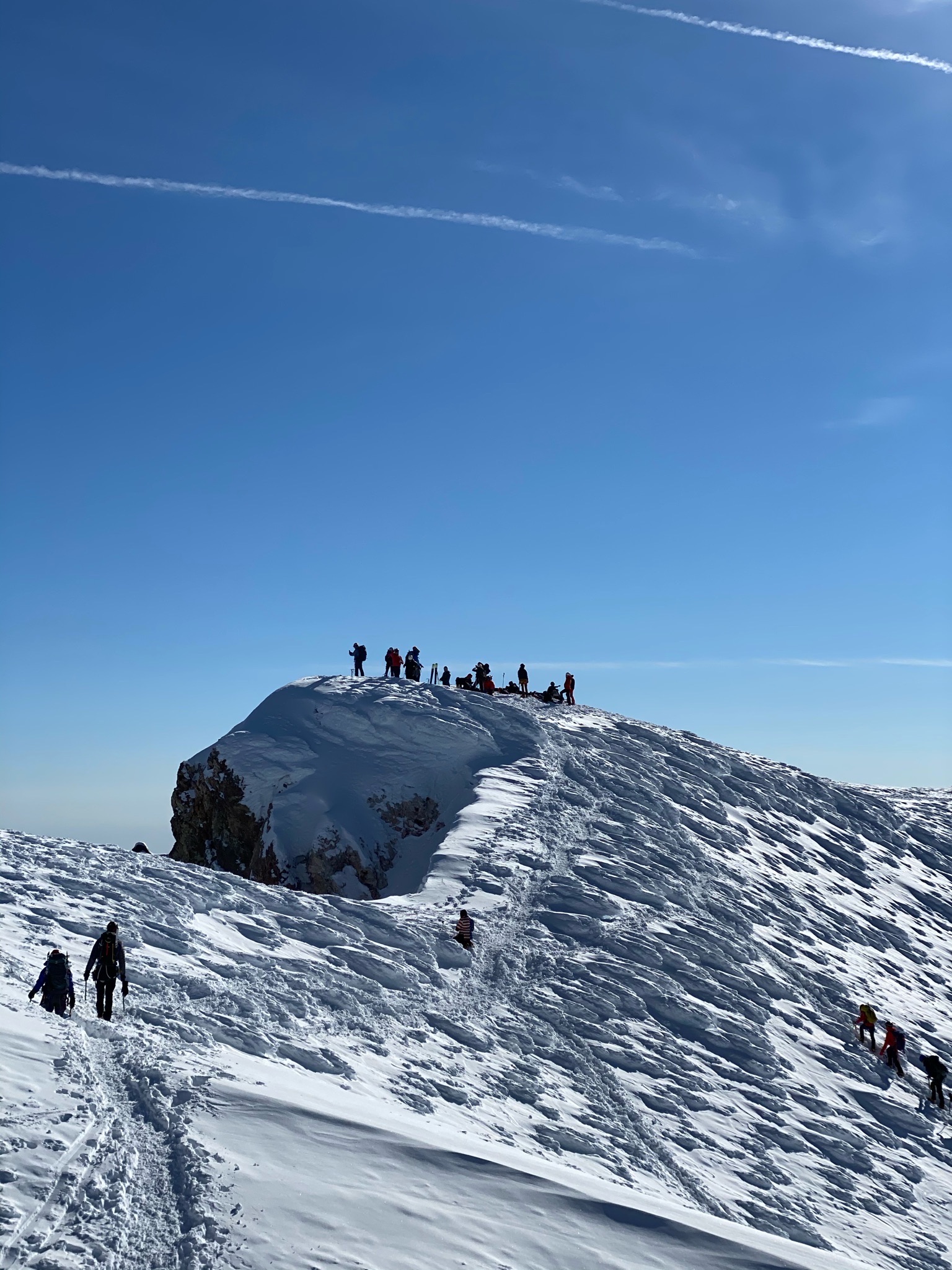
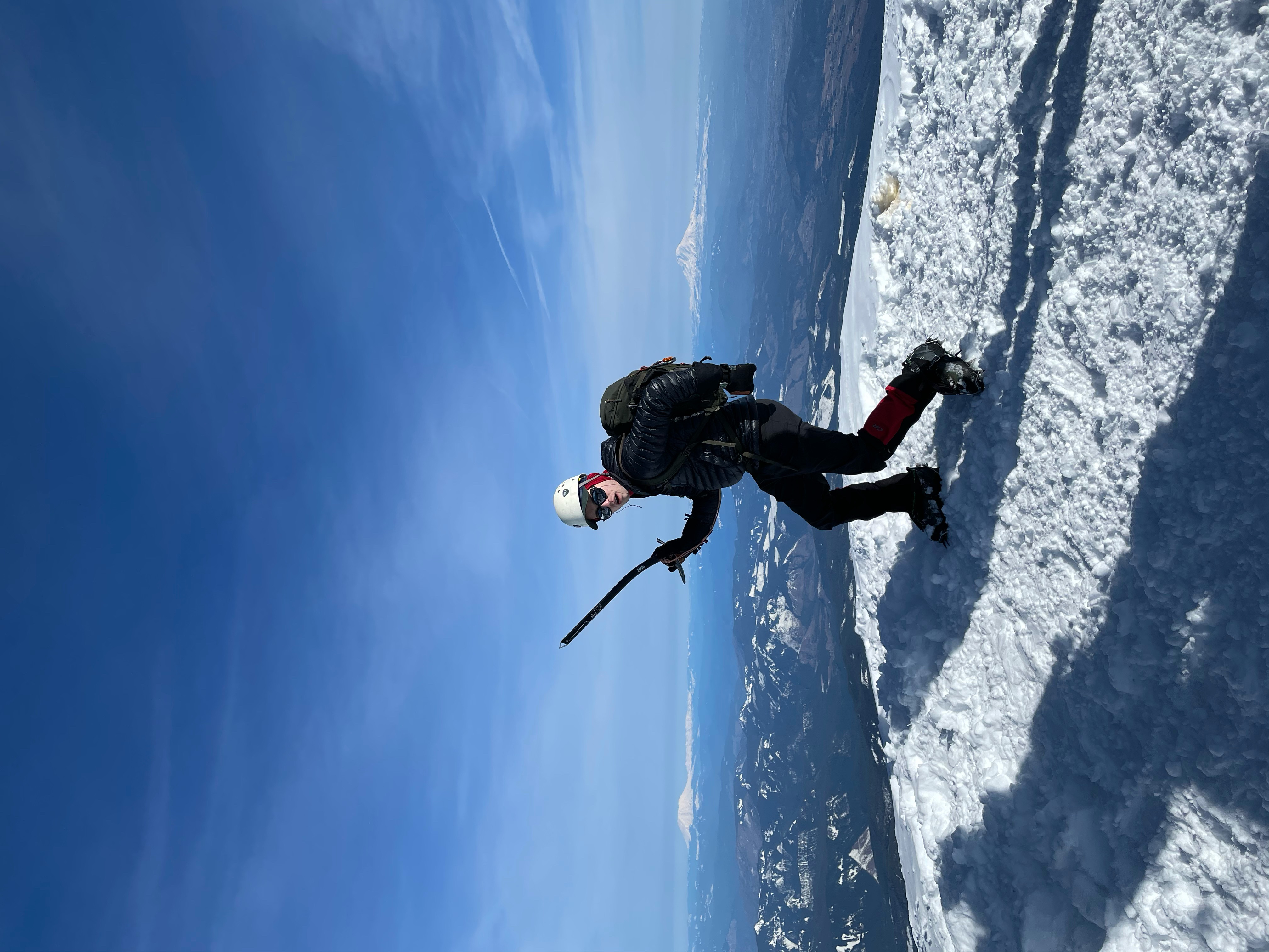
Mar 13, 2021 · Hike · Peaks member
Routes
- Cathedral RidgeHard · 5.7 mi · 7,430 ft gain · Est. 5.25–7.25 hr
- Coe Glacier3.9 mi · 5,812 ft gain · Est. 3.75–5.5 hr
- Cooper Spur4.2 mi · 5,595 ft gain · Est. 3.75–5.5 hr
- Leuthold Couloir3.7 mi · 5,530 ft gain · Est. 3.75–5.25 hr
- Newton Clark Headwall3.6 mi · 5,354 ft gain · Est. 3.5–5 hr
- North Face3.2 mi · 5,539 ft gain · Est. 3.5–4.75 hr
- Reid Headwall3.7 mi · 5,530 ft gain · Est. 3.5–5 hr
- Sandy Headwall4.7 mi · 6,636 ft gain · Est. 4.5–6.25 hr
- South Side - Old Chutes3.3 mi · 5,353 ft gain · Est. 3.5–4.75 hr
- South Side - Pearly Gates3.2 mi · 5,318 ft gain · Est. 3.25–4.75 hr
- Steel Cliffs3.3 mi · 5,370 ft gain · Est. 3.5–4.75 hr
- Sunshine3.5 mi · 5,516 ft gain · Est. 3.5–5 hr
- West Crater Rim3.4 mi · 5,334 ft gain · Est. 3.5–4.75 hr
- Wy'east3.3 mi · 5,331 ft gain · Est. 3.5–4.75 hr
Trip reports
- Trip ReportPeaks member · Mar 13, 2021
Great conditions, just followed the conga line to the top!
- Trip ReportPeaks member · Mar 13, 2021
Was neet.