US state high points
Fifty reasons to take a different road.
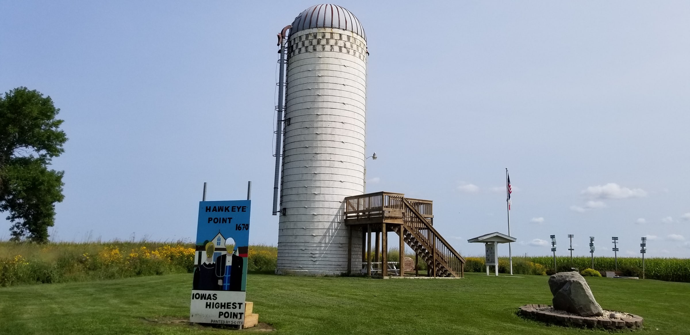
A state high point can give a familiar trip an unfamiliar turn. You leave the main road, pass through a town you would otherwise have missed, and arrive at a place whose claim is simply that everything else in the state lies lower. Sometimes the height is obvious. Sometimes a marker has to explain it. That variety is a large part of the pleasure.
Give the small rises their due
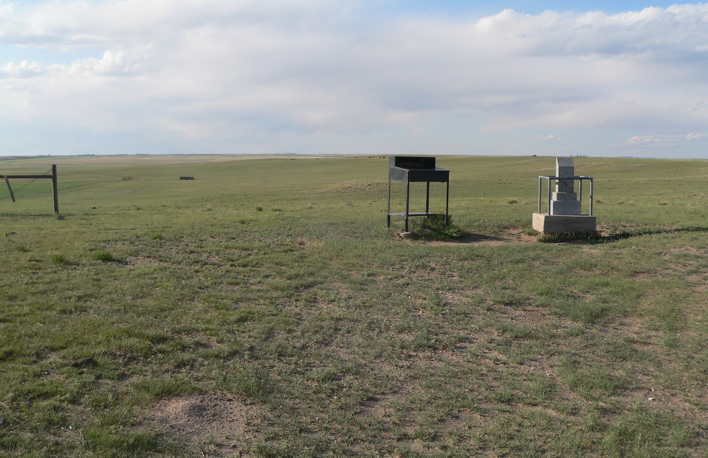
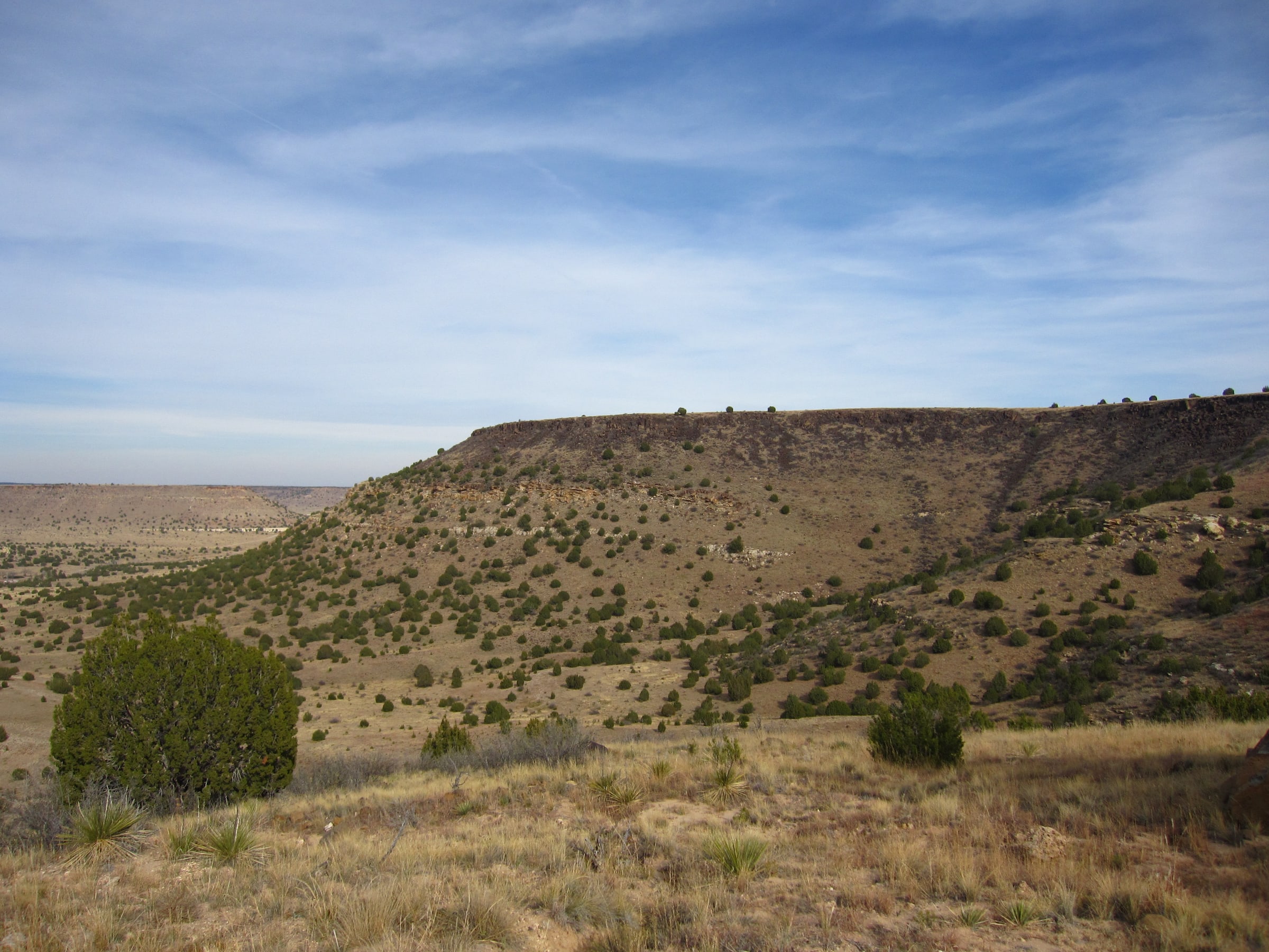
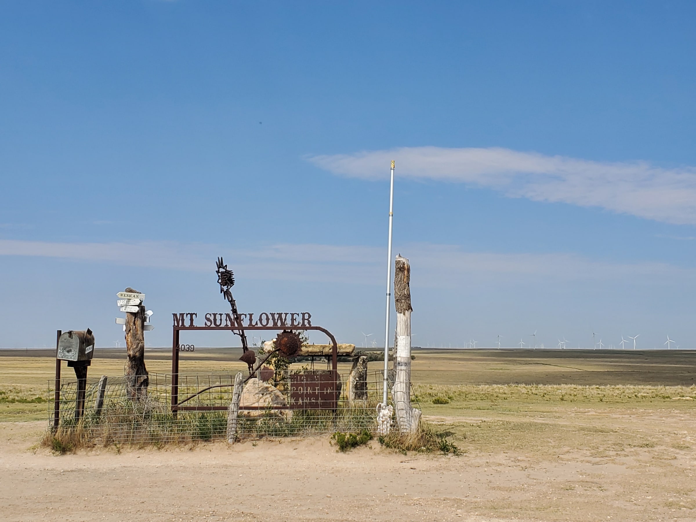
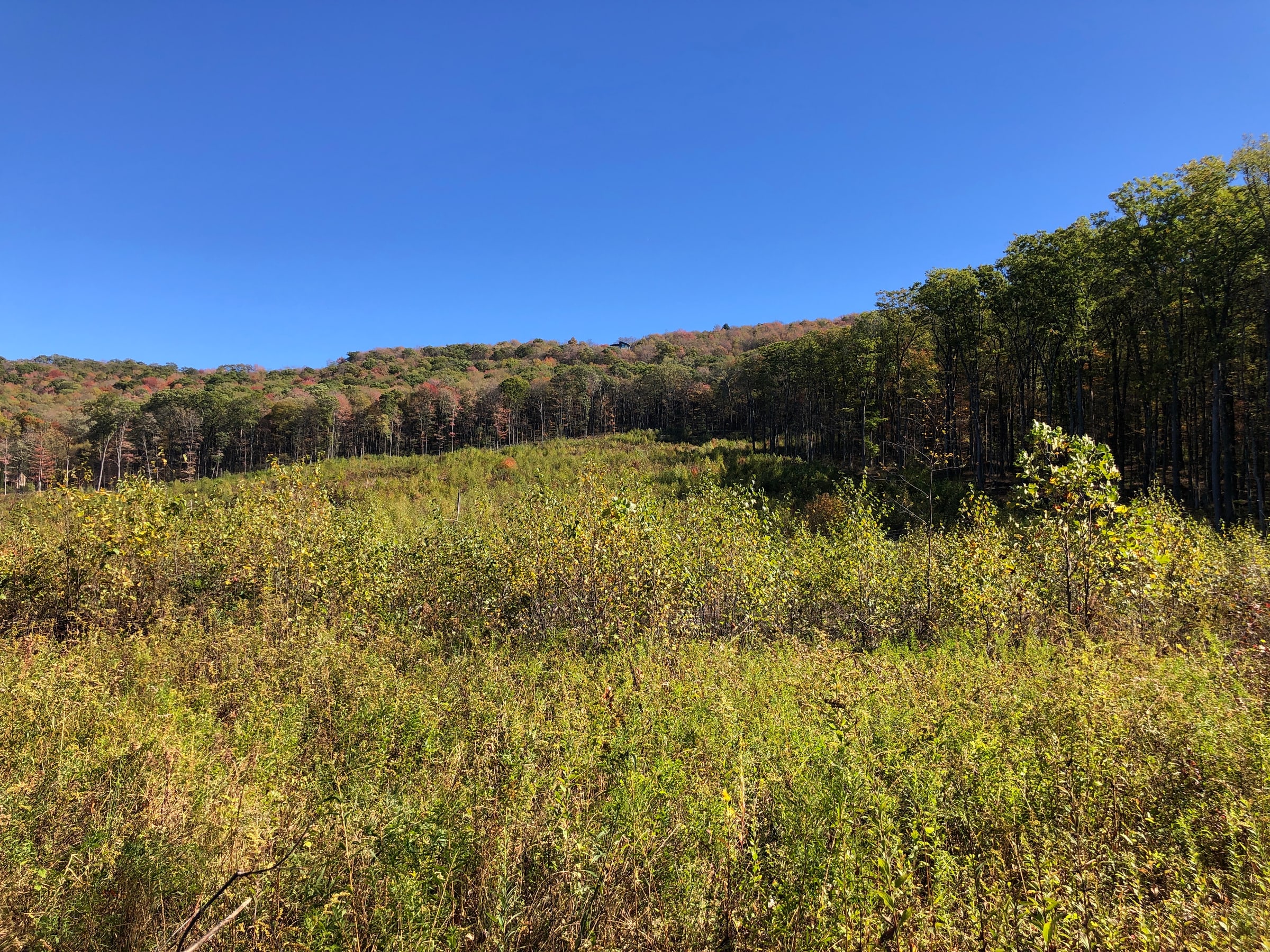
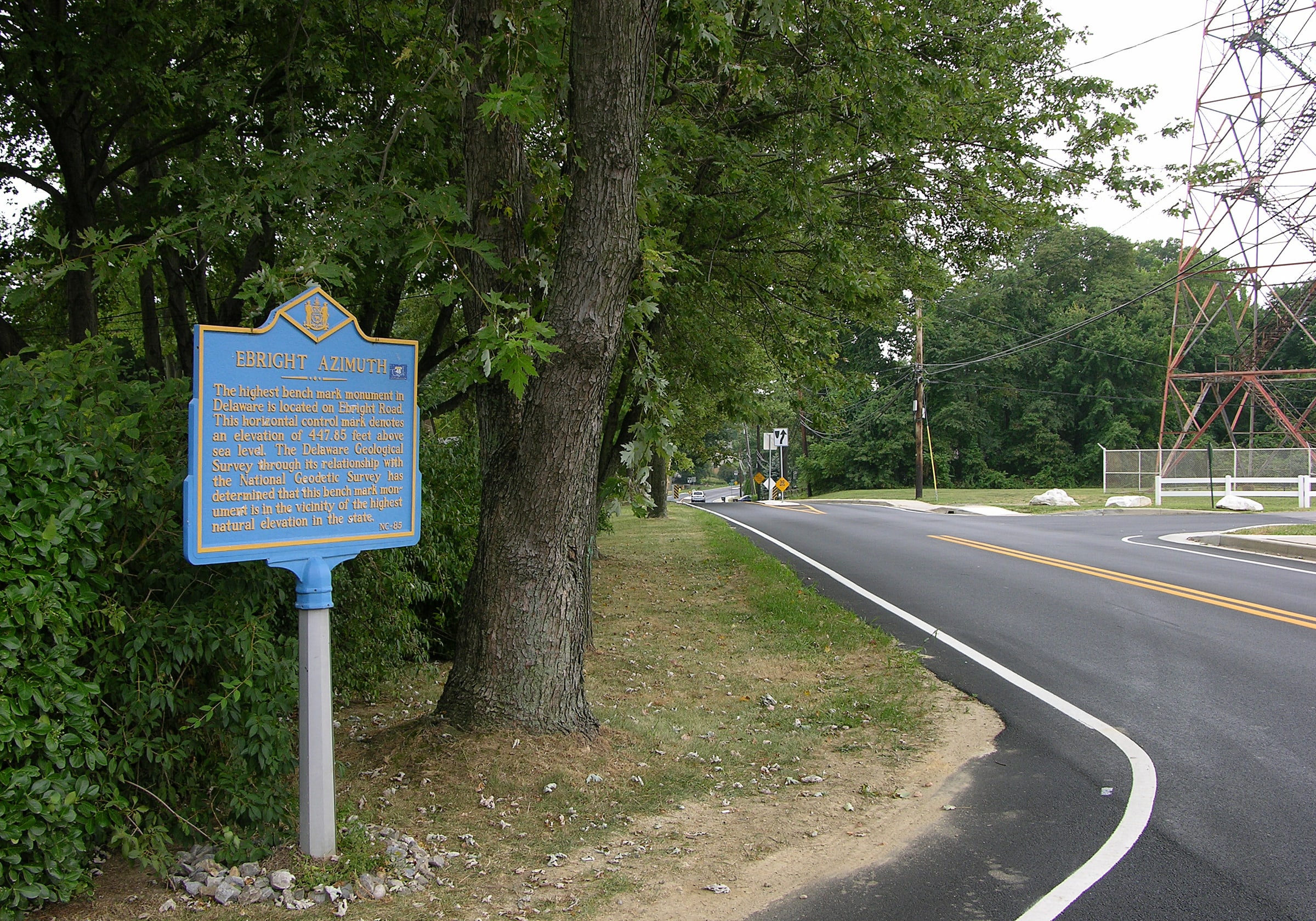
Florida’s Britton Hill stands 345 feet above sea level. Delaware’s Ebright Azimuth is another modest high point, while Connecticut’s highest ground lies on the south slope of Mount Frissell. A summit list can make you expect a sharp top and a wide view, but state boundaries and the shape of the land produce a much less tidy set of places.
Let each visit be the size it wants to be. A short stop can still make you curious about the surrounding country: where the land rises next, why a road follows a particular line, or what grows on the slope. The less imposing high points offer a good excuse to pay attention to places that rarely appear in mountain photographs.
An afternoon in the Black Mountains
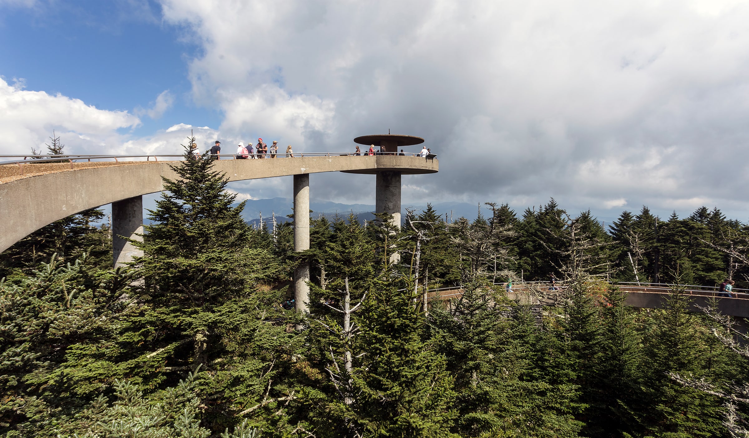
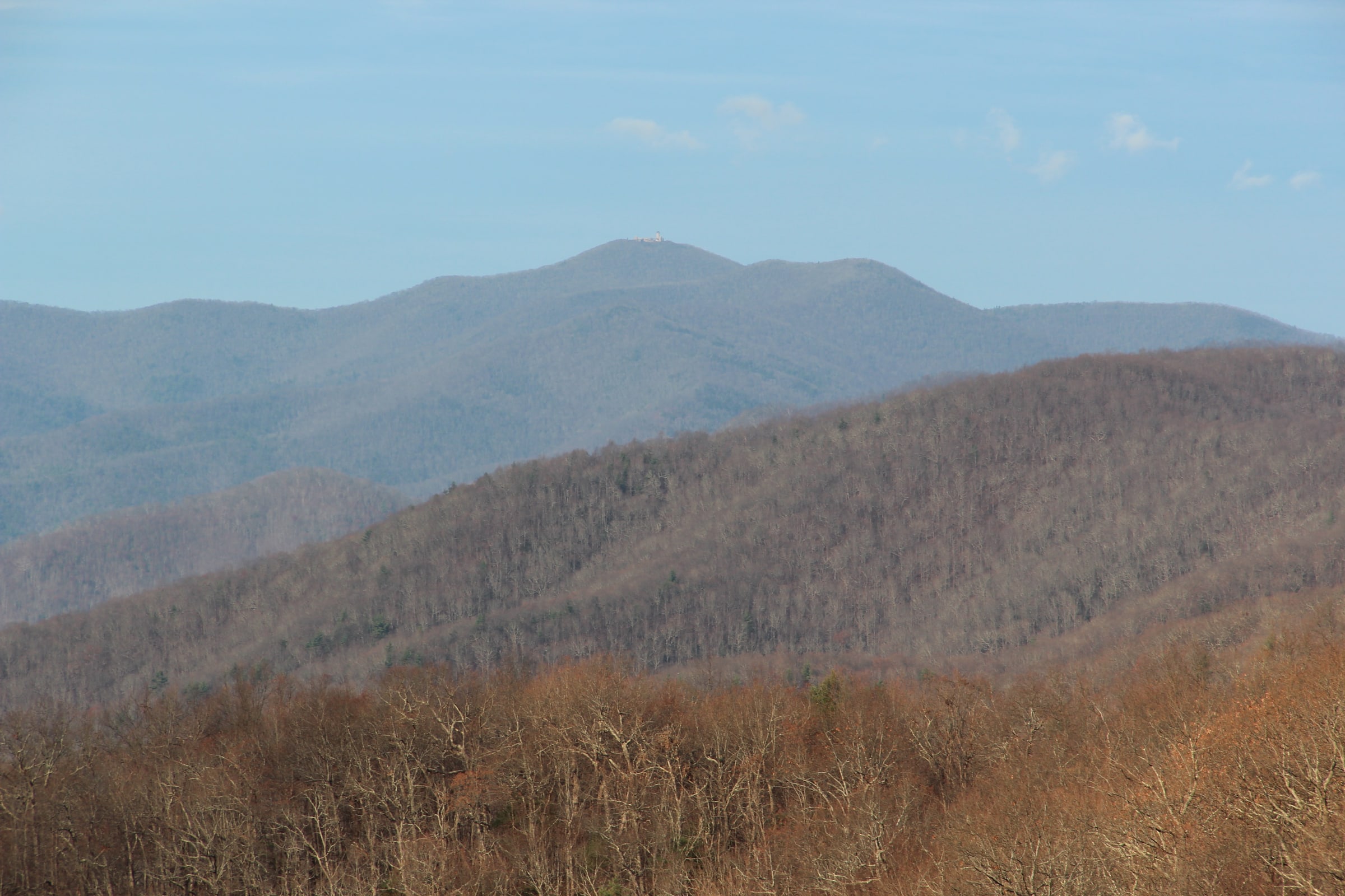
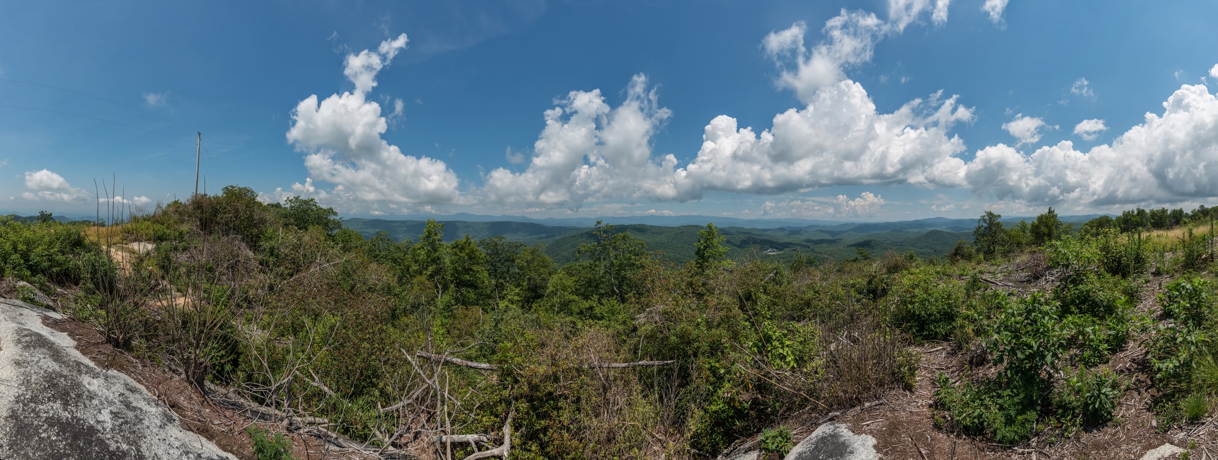
North Carolina’s Mount Mitchell shows how much a single high point can hold. At 6,684 feet, it is the highest mountain east of the Mississippi. An observation deck gives a wide view when the weather is clear, and the surrounding state park offers trails for a longer visit. Clouds may shorten the view considerably; the cooler air still makes the height apparent.
The observation deck and the trails offer different ways to spend an afternoon on the same mountain. One gives a quick sense of the surrounding country; the others let the visit unfold a little at a time. There is room in highpointing for both kinds of day, and for the towns and roads that connect them.
A visit depends on a welcome
Several state high points sit on private land. Others fall within parks or forests with their own visiting arrangements. The Highpointers Club keeps access notes because permission, opening dates, and the way in matter as much as a point’s position on the map. A small hill can require more advance thought than its elevation suggests.
Read those arrangements before adding a detour, and follow the landowner’s or land manager’s current instructions. Then keep a few notes of your own: who came along, what the weather did, and what caught your attention. Over time, those details make a much richer record than a row of completed states. There is no need to hurry the next one.