Humboldt Peak
SummitColorado, United States
About Humboldt Peak
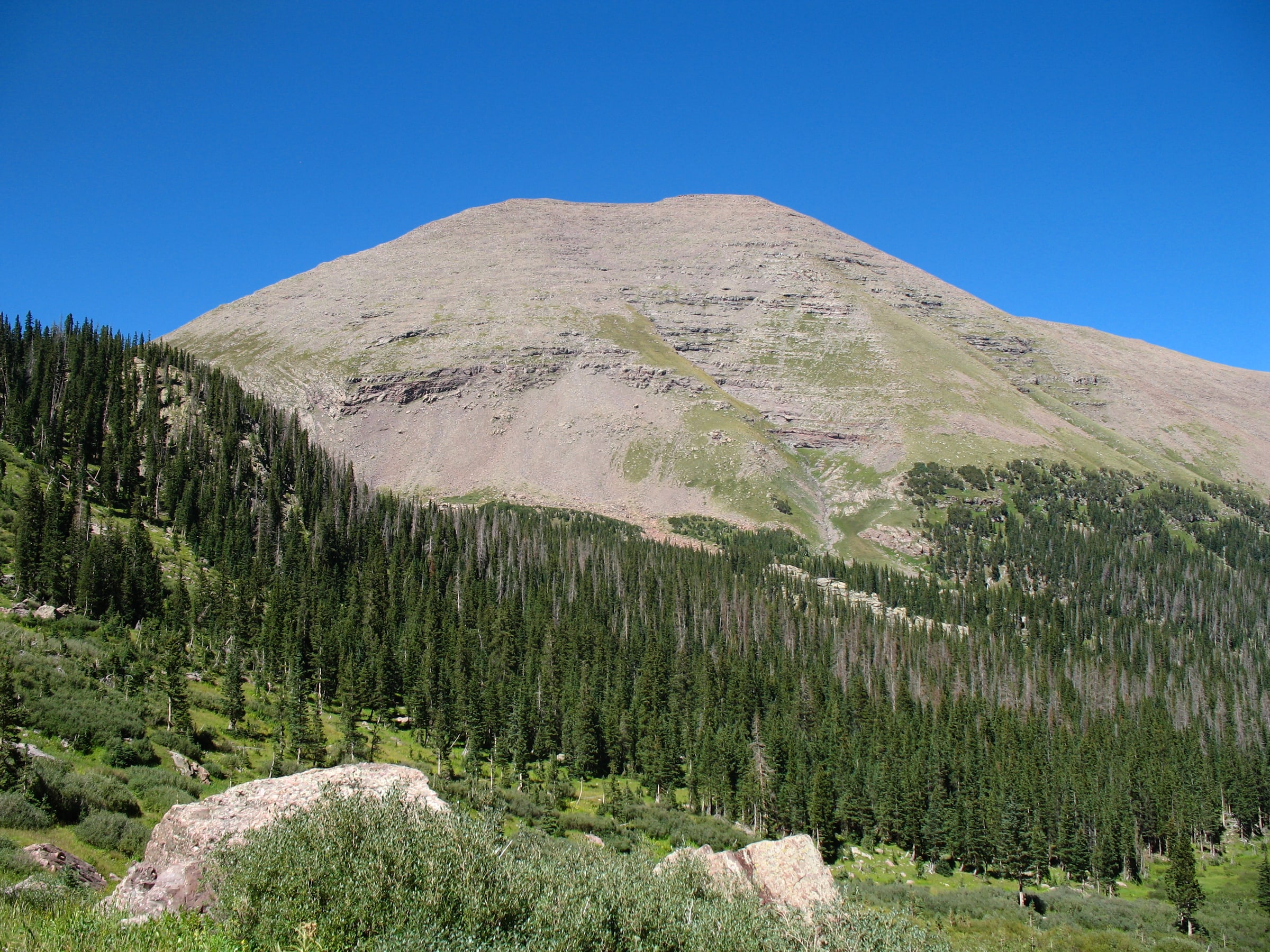
Humboldt Peak is a high mountain summit of the Crestones in the Sangre de Cristo Range of the Rocky Mountains of North America. The 14,066.6-foot (4,287 m) fourteener is located in the Sangre de Cristo Wilderness of San Isabel National Forest, 11.9 miles (19.2 km) south-southwest of the Town of Westcliffe in Custer County, Colorado, United States.
Source: Wikipedia · CC BY-SA 4.0
Before you go
Choose an approach from the linked routes, then check its distance, gain, and starting point. View route
Current access, permit, and seasonal-closure updates are not available here. Confirm those details with the land manager before your trip. Read Wikipedia
More about this place
Weather
Forecast near Humboldt Peak · destination elevation 14,065 ft. Conditions can vary with elevation.
Full forecast → · Forecast by Open-Meteo
Seasonality
Map
Routes
Trip reports
No trip reports yet. Been here? Write the first one.