Mount Sherman
SummitColorado, United States
About Mount Sherman
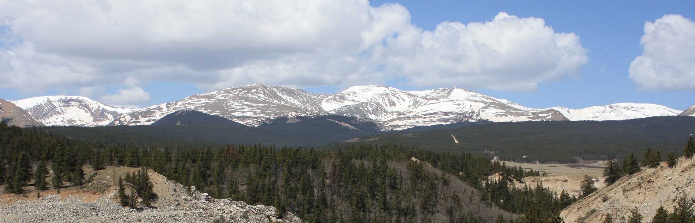
Mount Sherman is a high mountain summit in the Mosquito Range of the Rocky Mountains of North America. The 14,040.4-foot (4,280 m) fourteener is located 6.8 miles (11.0 km) east by south of the City of Leadville, Colorado, United States, on the drainage divide separating Lake County from Park County. The mountain was named in honor of General William Tecumseh Sherman.
Source: Wikipedia · CC BY-SA 4.0
Before you go
Choose an approach from the linked routes, then check its distance, gain, and starting point. View route
Current access, permit, and seasonal-closure updates are not available here. Confirm those details with the land manager before your trip. Read Wikipedia
More about this place
Weather
Forecast near Mount Sherman · destination elevation 14,035 ft. Conditions can vary with elevation.
Full forecast → · Forecast by Open-Meteo
Seasonality
Map
Routes
Trip reports
No trip reports yet. Been here? Write the first one.