Loading…
Alta Peak via Alta Trail from Sherman Tree Trailhead
out and backStrenuous
About Alta Peak via Alta Trail from Sherman Tree Trailhead
An out-and-back route from Sherman Tree Trailhead to Alta Peak and back to the start.
Source & links
Route geometry source: Openstreetmap · © OpenStreetMap contributors · Open Data Commons Open Database License (ODbL) 1.0 · View a source way · Retrieved Oct 17, 2026
17.5miRound-trip distance
5,941ftElevation gain
5,941ftElevation loss
9.5–13.5 hrEst. round-trip moving time
Time is a rough hiking estimate from distance and gain. It excludes breaks and does not account for snow, scrambling, or technical climbing.
Elevation profile
Along the way
- Sherman Tree Trailhead
Trailhead · Start
- Sherman Tree View
6,919 ft · Viewpoint · 0.3 mi in
- General Sherman Tree Disabled Parking
Trailhead · 0.4 mi in · 177 ft off route
- Panther Gap
8,484 ft · Landform · 4.6 mi in
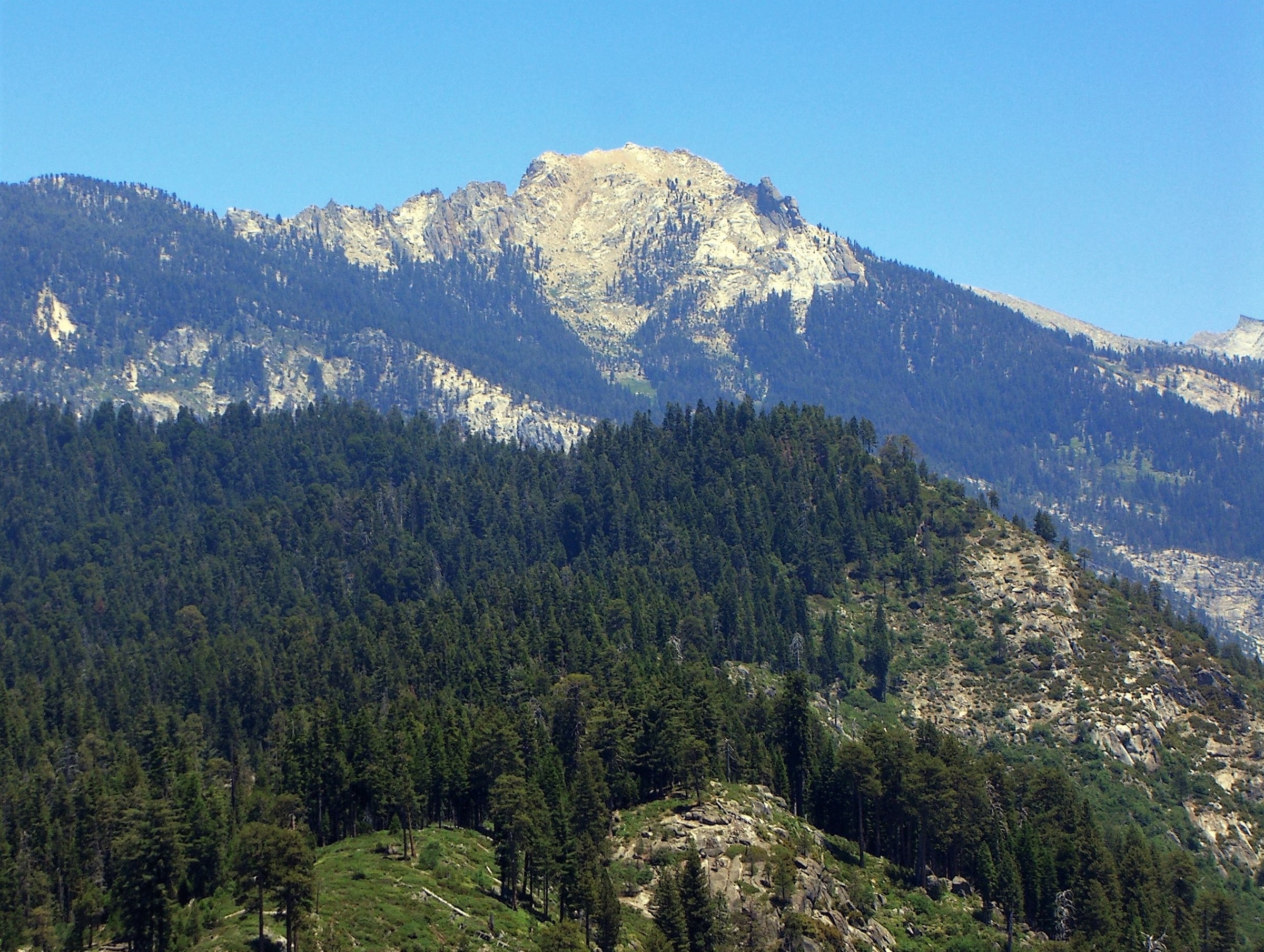
- Alta Peak
11,204 ft · Summit · 8.6 mi in
Route segments
Segments (16)
- Shared by 12 routesSherman Tree Trail884 ft · 0 ft gain
- Shared by 20 routesSherman Tree Trail628 ft · 0 ft gain
- Shared by 21 routesSherman Tree Trail505 ft · 0 ft gain
- Shared by 20 routesSherman Tree Trail256 ft · 18 ft gain · Reversed
- Shared by 20 routesCongress Trail185 ft · 30 ft gain · Reversed
- Shared by 19 routesCongress Trail0.2 mi · 14 ft gain
- Shared by 3 routesSegment 767 ft · 0 ft gain · Reversed
- Shared by 4 routesCongress Trail0.4 mi · 200 ft gain
- Shared by 6 routesGiant Forest-Alta Trail0.4 mi · 323 ft gain
- Shared by 6 routesGiant Forest-Alta Trail90 ft · 0 ft gain
- Shared by 6 routesGiant Forest-Alta Trail0.5 mi · 19 ft gain · Reversed
- Shared by 2 routesAlta-Panther Gap Trail2.5 mi · 1,108 ft gain
- Shared by 2 routesAlta-Panther Gap Trail1.0 mi · 596 ft gain
- Shared by 2 routesAlta Trail1.0 mi · 356 ft gain
- Shared by 2 routesAlta Peak Trail2.0 mi · 37 ft gain · Reversed
- Shared by 2 routesSegment 1687 ft · 56 ft gain