Loading…
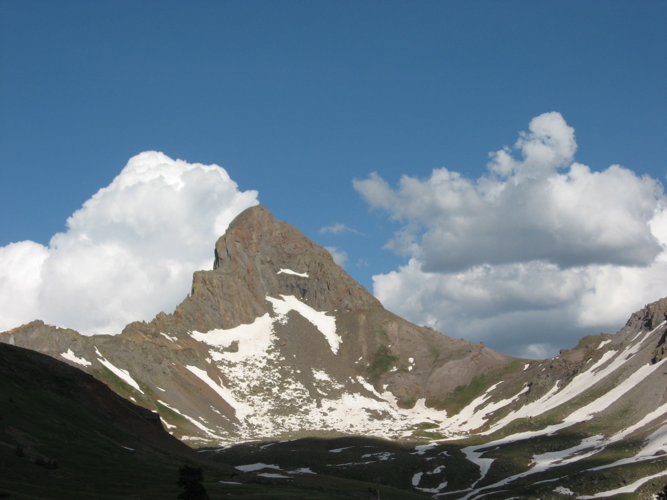
Wetterhorn Peak via Southeast Ridge
out and back
About Wetterhorn Peak via Southeast Ridge
An out-and-back route from Matterhorn Creek Trailhead to Wetterhorn Peak and back to the start.
Source & links
Route geometry source: Openstreetmap · © OpenStreetMap contributors · Open Data Commons Open Database License (ODbL) 1.0 · View a source way · Retrieved Jul 30, 2026
- 14ers14ers.com
6.0miRound-trip distance
3,564ftElevation gain
3,564ftElevation loss
4–5.5 hrEst. round-trip moving time
Time is a rough hiking estimate from distance and gain. It excludes breaks and does not account for snow, scrambling, or technical climbing.
Elevation profile
Waypoints (2)
- Matterhorn Creek TrailheadStart10,800 ft
- Wetterhorn PeakFinish14,016 ft
Route segments
Segments (1)
- Wetterhorn Peak via Southeast Ridge3.0 mi · 3,391 ft gain