Loading…
Easton Glacier Route
out and backStrenuous
About Easton Glacier Route
An out-and-back route from Easton Glacier Route Trailhead to Mount Baker and back to the start.
Source & links
Route geometry source: Openstreetmap · © OpenStreetMap contributors · Open Data Commons Open Database License (ODbL) 1.0 · View a source way · Retrieved Oct 15, 2026
- Blue Ridge Mountain Guidesblueridgemtnguides.com
14.8miRound-trip distance
7,706ftElevation gain
7,706ftElevation loss
9–12.75 hrEst. round-trip moving time
Time is a rough hiking estimate from distance and gain. It excludes breaks and does not account for snow, scrambling, or technical climbing.
Elevation profile
Along the way
- Easton Glacier Route Trailhead
3,369 ft · Trailhead · Start
- Park Butte Trailhead
Trailhead · Start
- Railroad Grade
Landform · 3.1 mi in
- Sandy Camp
5,938 ft · Campsite · 4.0 mi in · 237 ft off route
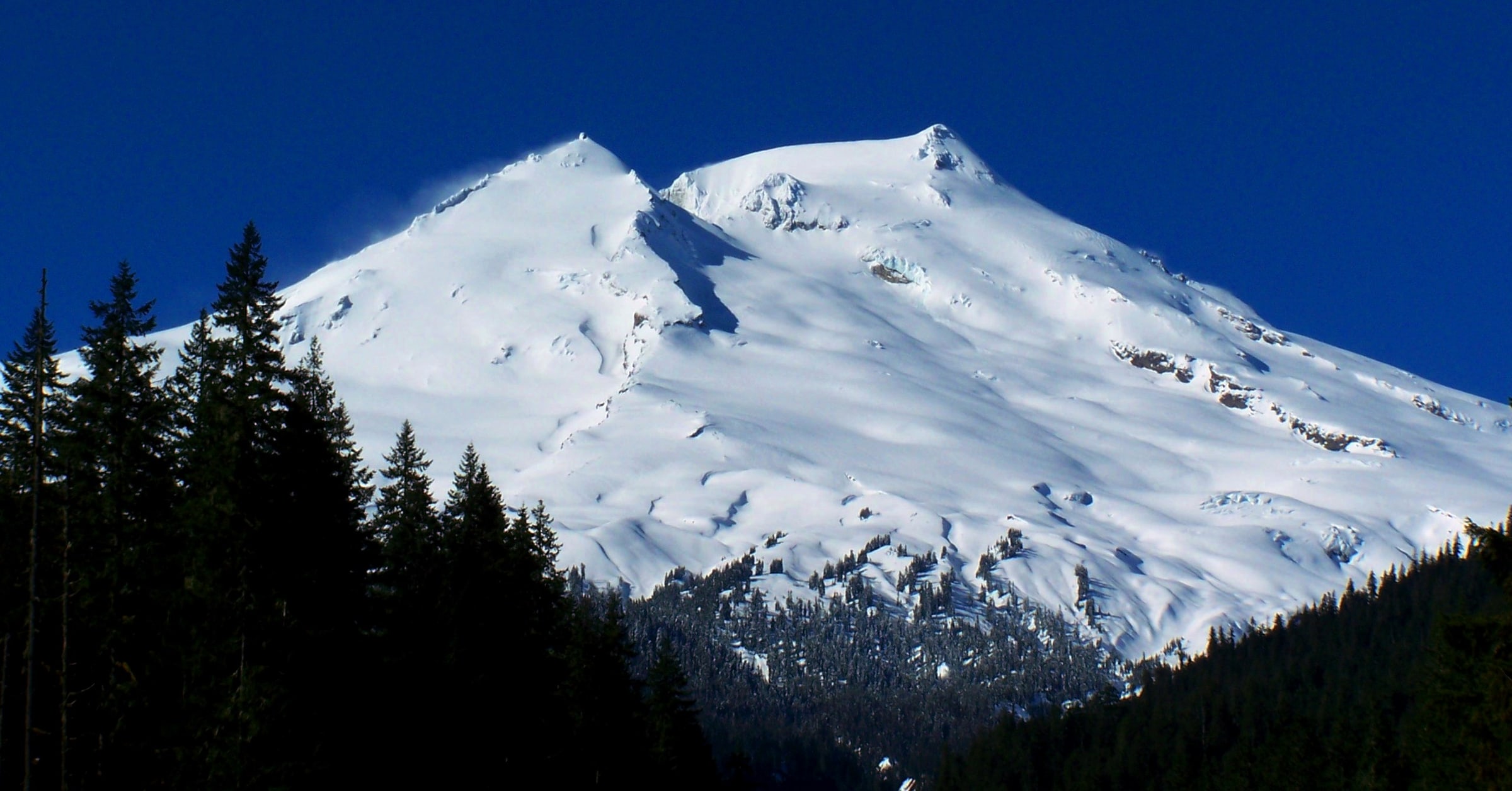
- Mount Baker
10,781 ft · Summit · Volcano · 7.1 mi in
Route segments
Segments (27)
- Segment 117 ft · 0 ft gain · Reversed
- Shared by 3 routes(PNT) Park Butte Trail113 ft · 0 ft gain · Reversed
- Shared by 4 routes(PNT) Park Butte Trail153 ft · 0 ft gain · Reversed
- Shared by 3 routes(PNT) Park Butte Trail1.1 mi · 0 ft gain · Reversed
- Shared by 3 routesPark Butte Trail21 ft · 0 ft gain
- Shared by 3 routes(PNT) Park Butte Trail0.8 mi · 795 ft gain
- Shared by 3 routes(PNT) Park Butte Trail0.4 mi · 0 ft gain · Reversed
- Shared by 2 routesRailroad Grade0.3 mi · 201 ft gain
- Shared by 2 routesRailroad Grade821 ft · 13 ft gain
- Shared by 2 routesRailroad Grade0.5 mi · 482 ft gain
- Shared by 2 routesRailroad Grade780 ft · 127 ft gain
- Shared by 2 routesRailroad Grade780 ft · 137 ft gain
- Shared by 2 routesRailroad Grade621 ft · 0 ft gain · Reversed
- Railroad Grade55 ft · 0 ft gain · Reversed
- Segment 151.3 mi · 1,578 ft gain
- Shared by 2 routesEaston Glacier Route0.3 mi · 0 ft gain · Reversed
- Segment 170.8 mi · 0 ft gain · Reversed
- Segment 180.5 mi · 25 ft gain · Reversed
- Shared by 2 routesEaston Glacier Route418 ft · 0 ft gain · Reversed
- Shared by 3 routesEaston Glacier Route627 ft · 300 ft gain
- Shared by 3 routesEaston Glacier Route58 ft · 0 ft gain
- Shared by 3 routesEaston Glacier Route765 ft · 219 ft gain
- Shared by 3 routesEaston Glacier Route661 ft · 0 ft gain
- Shared by 3 routesSegment 24152 ft · 0 ft gain
- Shared by 5 routesSegment 25364 ft · 0 ft gain · Reversed
- Segment 2645 ft · 0 ft gain
- Segment 2767 ft · 0 ft gain