
Clear Creek Route
5.7 mi · 0 ft gain · New
Easy2 stops
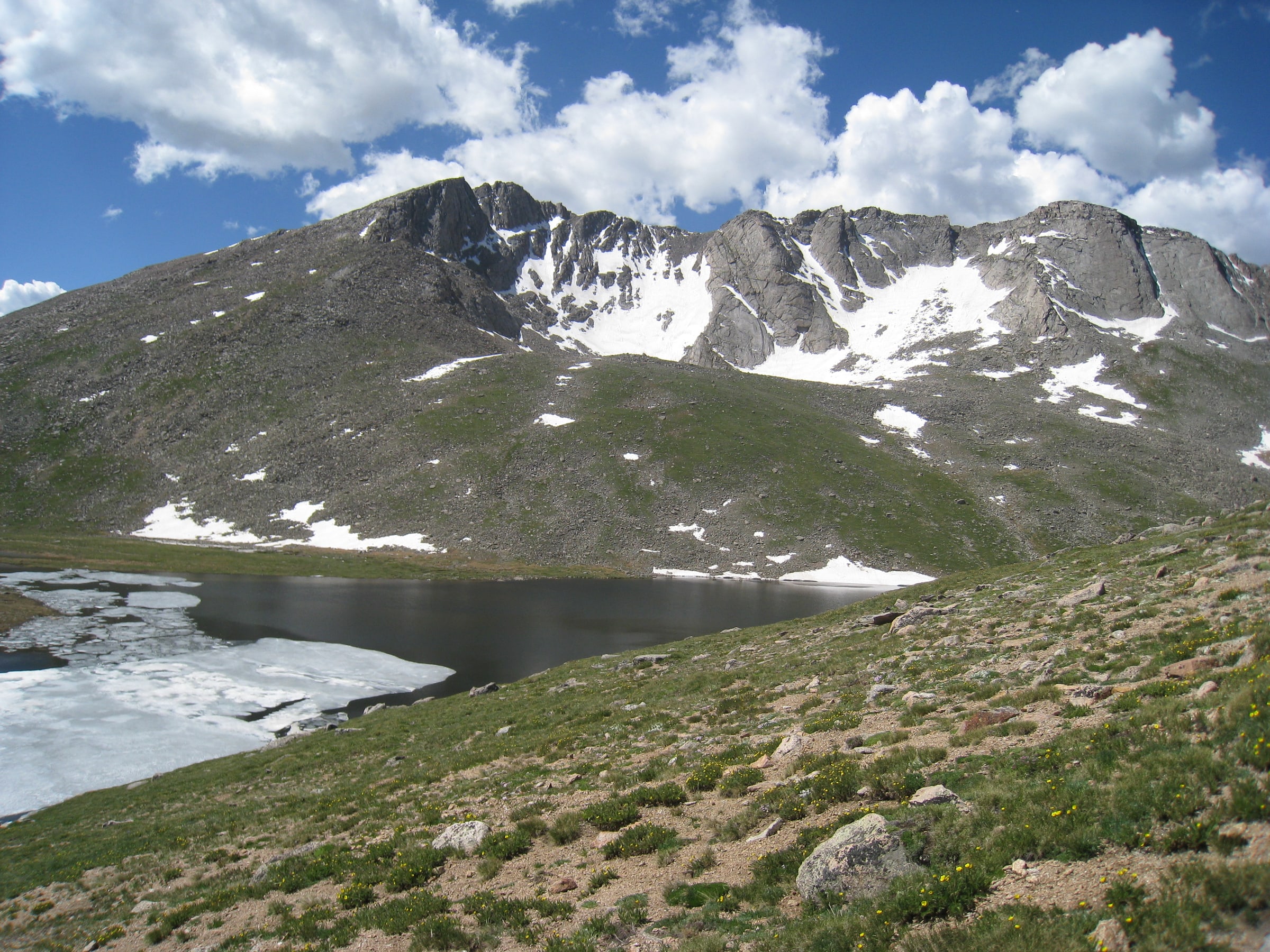
Photo: Frank Schulenburg / CC BY-SA 4.0 · cropped
Peaks is an iPhone hiking tracker and route planner. It records distance, gain, time, and the summits or trailheads reached along the way. 1,300+ hikes are recorded so far — browse where people are going.
Explore hikingUp to 10 miles and 2,000 feet of gain. Open a guide for its terrain, access, and route details.






Straight answers
State guides
Take Peaks up the mountain.